- Tiger Census in Sundarbans in 1995 to 2018
- Waterfowl Census in West Bengal from 1997 to 2020
- Crocodile Census at Sundarbans, West Bengal in 2012
- A comprehensive tree census at Rabindra Sarobar Lake area. All the big trees of different species found were counted in 2016
- All-India Synchronized Elephant Population Estimation at Gorumara National Park, West Bengal, India in 2015 and 2017, and at Buxa Tiger Reserve, West Bengal, India in 2018
- Estimation of Lesser Cats at Sundarban Biosphere Reserve with West Bengal Forest Department in 2019
Biodiversity Assessment
Wildlife Census
Members of Nature Mates have voluntarily participated in different wildlife census with respective forest departments.
Environmental Impact Assessment/EIA
Environmental Impact Assessment is a process of evaluating the likely environmental impacts of a proposed project or development, taking into account inter-related socio-economic, cultural and human-health impacts, both beneficial and adverse. In todayâs world, every small or big step towards development must accompany some thoughts of conservation that means sustainable use of our natural resources. We have a potential group of environmentalist and field biologists to assess the impact of your project on the environment and to help you plan the next step accordingly.
Flora and Fauna
We have carried out such biodiversity survey for government bodies as well as private entities. We have carried out biodiversity survey for several developmental projects like highway projects, windmill and solar power projects in states like Maharashtra, Rajasthan, Andhra Pradesh, Tamil Nadu, Gujarat, Madhya Pradesh and Karnataka.
Creeks & Canals
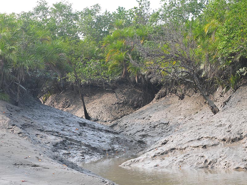
As Sundarbans patrolling depends on its creeks and canals, we wanted to study the creek to understand how the remote sensing map differs with ground reality, the navigability of the creek during low-tides in the region, a survey was initiated by the Forest Department, conducted and completed by our survey team in 8 blocks of Chuklathi in 2014. The results of study put forth that there were 47 creeks navigable in low tides; it also inferred that there is a stark difference between remote sensing data and ground reality; hence a detailed work has been proposed for the same to develop a better management plan based on it.
Surveys conducted by Nature Mates


